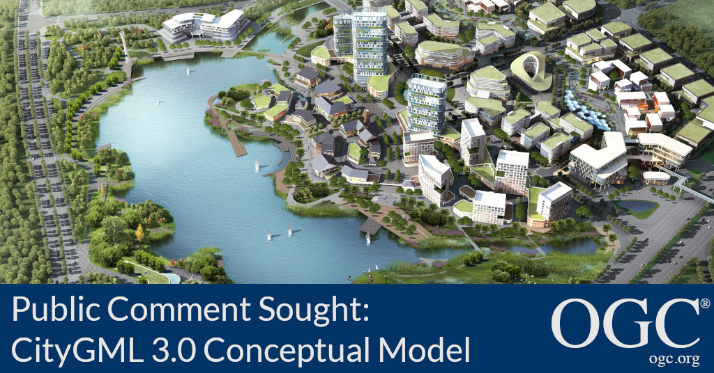
CityGML 3.0 defines a common information model for the representation of 3D urban objects that can be shared over different applications, improving their reusability and increasing ROI
14 December 2020: The Open Geospatial Consortium (OGC) seeks public comment on version 3.0 of the CityGML Conceptual Model, used for the storage and exchange of virtual 3D city models. Comments are due by the 28th of January, 2021.
A key goal for the development of the CityGML Conceptual Model is to provide a common definition of the basic entities, attributes, and relations of a semantically rich 3D city model. This is especially important with respect to the cost-effective sustainable maintenance of 3D city models, allowing the reuse of the same data in different application fields.
CityGML 3.0 creates a foundation of integrated 3D built environment data working towards digital twins and connected, smarter cities across multiple application areas.
An increasing number of cities and companies are building virtual 3D city models for different purposes like urban planning, disaster management, 3D cadastre, energy modeling, environmental analysis & simulation, tourism, and more.
The previous version, CityGML 2.0, has been widely adopted to create, maintain, and publish city models all around the world. CityGML 3.0 keeps key concepts of the previous version and makes the implementation of CityGML more versatile.
Specifically, CityGML v3.0 now allows:
- Data encodings other than GML
- Updated LoD concept supporting a greater variety of indoor representations, covering simple floorplans as well as detailed 3D room details
- Easier integration with Building Information Models (BIM)
- The integration of dynamic sensor feeds
- Quicker implementation through a developer-friendly, modular specification
- Faster extension by making user-specific additions to published UML model
The CityGML Conceptual Model Standard defines a common information model for the representation of 3D urban objects that can be shared over different applications. The latter capability is especially important with respect to the cost-effective sustainable maintenance of 3D city models, allowing governments and companies to reap the benefits of their investment in 3D city models by using the same models across different application fields and integrating data from separate sources.
Application areas explicitly targeted by CityGML 3.0 include city planning, architectural design, tourist & leisure activities, environmental simulation, mobile telecommunication, disaster management, homeland security, real estate management, energy modelling, vehicle and pedestrian navigation, and training simulators.
CityGML is applicable for large areas and small regions, and can represent the terrain and 3D objects in different levels of detail simultaneously. Since anything from simple, single scale models to very complex multi-scale models can be represented, CityGML enables the consistent representation of 3D urban objects across different geographic information systems and users.
The CityGML 3.0 Conceptual Model is a Platform Independent Model (PIM). It defines concepts in a manner that is independent of any implementing technology. As such, it serves as the base for Platform Specific Models (PSM) where a CityGML model can be implemented with a specific technology or encoding. A complete GML encoding is available as an informative resource. The OGC CityGML Standards Working Group has started work to formalise a CityGML 3.0 Implementation Specification for GML and intends to publish this as a related standard in due course. The creation of further implementation specifications, particularly for databases and JSON as well as a harmonization with the OGC CityJSON Community Standard is highly encouraged and envisaged to be part of the future work programme.
Future CityGML 3.0 Implementation Standards will be developed to define implementable source formats for 3D portrayal or transformation into dedicated portrayal formats such as the OGC I3S or the OGC 3D Tiles Community Standards, OGC KML, COLLADA or glTF. The OGC API - Features or OGC 3D Portrayal Service (3DPS) may be used for content delivery.
The candidate CityGML 3.0 Conceptual Model is available for review and comment on the OGC Portal. Comments are due by the 28th of January, 2021, and should be submitted via the method outlined on the CityGML 3.0 Conceptual Model’s public comment request page.
About OGC
The Open Geospatial Consortium (OGC) is an international consortium of more than 500 businesses, government agencies, research organizations, and universities driven to make geospatial (location) information and services FAIR - Findable, Accessible, Interoperable, and Reusable.
OGC’s member-driven consensus process creates royalty free, publicly available geospatial standards. Existing at the cutting edge, OGC actively analyzes and anticipates emerging tech trends, and runs an agile, collaborative Research and Development (R&D) lab that builds and tests innovative prototype solutions to members' use cases.
OGC members together form a global forum of experts and communities that use location to connect people with technology and improve decision-making at all levels. OGC is committed to creating a sustainable future for us, our children, and future generations.
Visit
ogc.org for more info on our work.
Contact: Email Contact


